Scientists Enthusiastically Unleash AI to Predictively Flood Cities, Await Nobel Prize for Common Sense
In a groundbreaking move sure to impress fourth graders and pets everywhere, researchers at MIT, having apparently exhausted all conventional solutions, have developed a new AI tool that conjures images of future flooding, potentially heralding an age where seeing is believing and living by the river is a choice made with an extra sprinkle of masochism.
Dubbed the “Earth Intelligence Engine,” because ominous names never backfire, the system pairs AI wizardry with physics models to highlight where your yard might become a lovely lap pool after the next hurricane. Naturally, this combines humanity’s favorite science fair topic, “generative adversarial networks,” with a hint of physics that was most likely considered hot stuff back in high school.
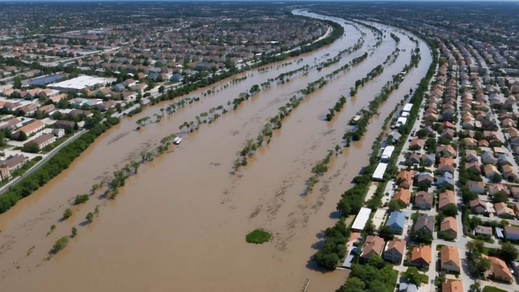
The masterminds behind this innovation decided to give Mother Nature a helping hand in scaring the pants off locals by digitally recreating future floods, particularly testing their creation on Houston. Boomers across the city were reportedly dumbstruck, exclaiming, “Well, I’ll be damned—looks just like that time in ’17 when everything was underwater!”
“We’ve managed to create something truly remarkable,” said Björn Lütjens, a postdoc in MIT’s Department of Making-You-Worry. “It’s like a crystal ball, but with more data and less mystic haze. Now, evacuating isn’t just sensible, it’s kind of a fashion statement.” Lütjens, meanwhile, assured everyone that this would bolster hurricane preparedness—because nothing says “high alert” like a hyper-realistic image of your car floating away.
The innovative research involves training an AI to decipher satellite images before and after past hurricanes, then predictively paint doomsday-like scenes made with love and computational rigor. However, the AI’s first few notable attempts featured floods atop skyscrapers, dubiously referred to as “hallucinations,” proving once again that even intelligent networks need Google Maps from time to time.
Brandon Leshchinskiy, among the study’s co-authors and alleged climate clairvoyant, proudly remarked, “The images are practically indistinguishable from reality, unless they’re not. But realism is subjective, right?”
With dreams of putting reality ahead of science fiction, the team now aims to distribute their groundbreaking app as an educational tool, one that will ideally replace those outdated red-and-blue maps suggesting where water likes to frolic. “We envision a day when digital floods are as common as neighborhood cookouts,” said Lütjens, raising hopes and insurance premiums in equal measure.
Their efforts, generously supported by the MIT Portugal Program, Google Cloud, and NASA, pretty much guarantee that humanity’s obsession with information overload is here to stay. When asked about its success, Aruna Sankaranarayanan, another of the contributors, quipped, “If this doesn’t make folks pack their bags before a hurricane, we’ll gladly gift them swim lessons.”
So here’s to the future: one painted pixel at a time with AI precognition, where turning a lifetime of tempestuous futurism into an Instagram-worthy journey is just another day at work.


